MAIRE-S
Modeling, and nowcasting, the atmospheric radiation environment in real-time for aviation and space tourism.
Developed at the University of Surrey

Modeling, and nowcasting, the atmospheric radiation environment in real-time for aviation and space tourism.
Developed at the University of Surrey

MAIRE-S is an operational model that calculates radiation levels at aviation altitudes for normal atmospheric conditions, as well as during enhanced radiation events that are caused by Space Weather.
Note: The model is currently still undergoing full validation.

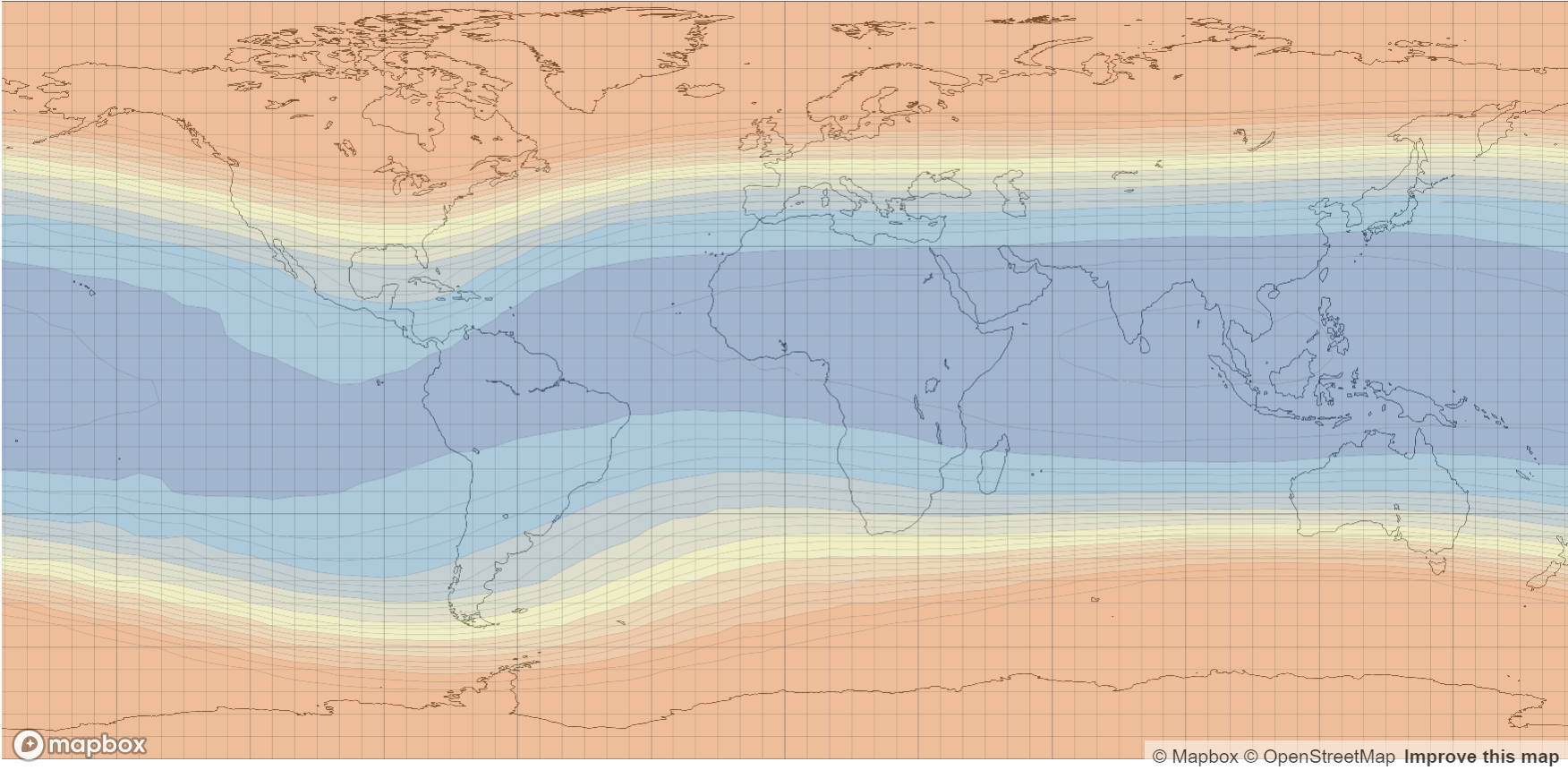
Example Radiation Dose Map output from MAIRE-S
Interactive, live global display maps are generated online, with several dose types available. The displays can be configured to reflect ICAO thresholds for “moderate” and “severe” radiation levels and a variety of colour spectra and levels can be selected. All maps are updated every 5 minutes. The nowcast will also detail whether an atmospheric radiation event is occurring, or whether conditions are normal.

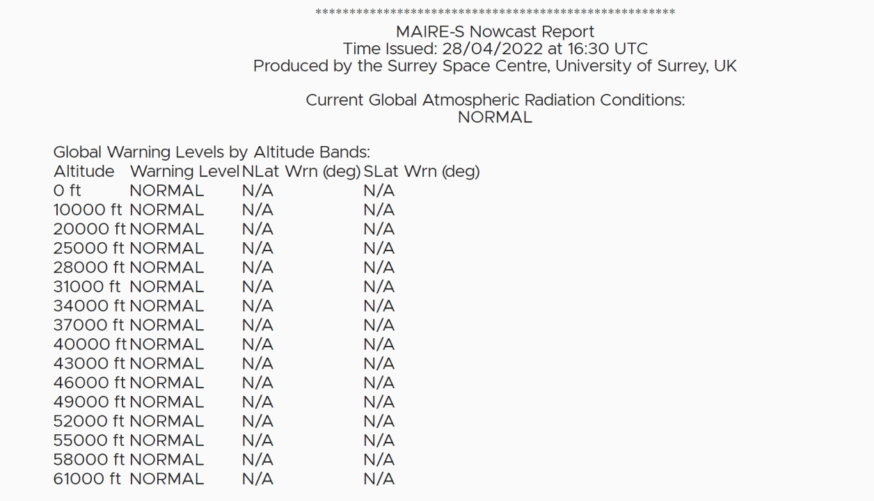
MAIRE-S can be used to generate text reports, in additional to visual displays. For example if any dose thresholds are reached above a specific latitude or altitude.
The MAIRE-S model can be used as part of a space weather training exercise, where the outputs of the model, based upon a generated scenario or a real historical event, can be used to replicate what might happen in a real atmospheric radiation event.

maire+@surrey.ac.uk
The outputs of the MAIRE-S model should not currently be used for accurate radiation dose measurements, particularly for regulatory or legal proceedings. This is an operational test and is still awaiting validation.